About the Portal
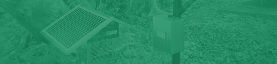
This portal is erected for the innovative Geo-AIoT solution for mosquito-borne disease prevention. On-site devices with a smart mosquito killer lamp and a weather station as one set collect killed mosquito count and weathering data, which would be utilized to train and fit the GeoAI model combing with localized environmental conditions.
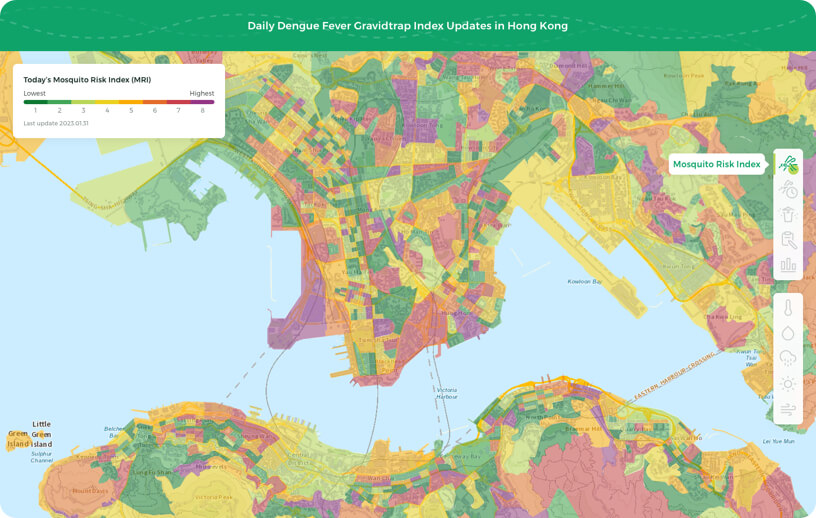
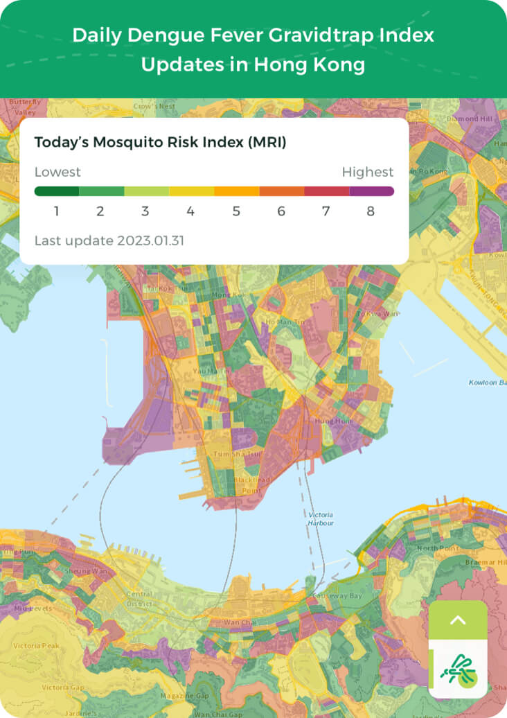
The model would automatically and recurrently generate a Mosquito Risk Index (MRI) for Hong Kong every 6 hours. The displayed index elements include the current MRI map, predict MRI map, gravid trap index, monthly dengue fever report, temperature (default), humidity, precipitation, UV index, wind speed and direction.
How to use the portal
Mosquito Risk Index is calculated by the GeoAI model, click on the map to check the local value. The MRI map would displayed as grid style while detailed locations are only available after logging in*
The legend is shown at the top left of the map, click Show more or Show less to expand or contract index details.
Gravid trap index is retrieved from the Food and Environmental Hygiene Department of Hong Kong; Monthly dengue fever report is retrieved from the Centre for Health Protection; Temperature, humidity, precipitation, UV index, and wind data are retrieved from Hong Kong Observatory. Portal update frequency are align with raw data update frequency.
*After logging in, the locations of smart mosquito killer lamp would automatically show up, please click site for more details.